|
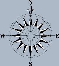
Visual
Navigation
Pilots
follow rivers, roads, railway lines and other identifiable
land features. Visual navigation is mainly used by light aircraft
pilots.
Locations on
our planet are broken down into North/South and East/West
for use in navigating planes and ships. The Equator is
well known as the centre latitude, by convention zero
meridian of longitude passes through Greenwich, London,
UK.. Under the menu item "Time and Seasons" (Enviroment
Menu) you can learn about GMT..... Greenwich Mean Time.
It is vital
to
navigating.
|
|
|
|
|
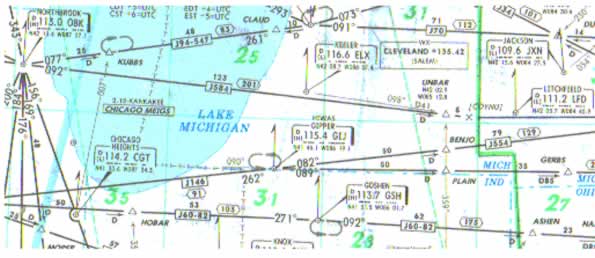
Airliner
Navigation Airline
pilots use a combination of radio beacons and onboard
navigation equipment such as IRS, INS or GPS. The IRS
(Inertial Reference System) or INS (Inertial Navigation
System) are spin-offs from the Space industry using accelerometers
or laser gyros to seek movement. GPS (Global Positioning
Satellite) use satellites in orbit to track position.
Airplane navigation systems must be told exactly where they
are before they move. The aircraft's parked position must be
loaded into the navigation computer. It is so accurate that
each parked position at a terminal is different. A typical
gate position is: N21210 W 157552 This is somewhere on Honolulu
airport. Please note that N represents North, as in North of
the Equator, W represents West, as in West of the Greenwich
meridian.
After
the parked position is loaded the route to be taken
needs to be loaded with positions enroute entered
in a similar manner to the co-ordinates shown for
Honolulu. These enroute positions can be loaded manually,
via a card system, via a computer database retrieval
system or, on my plane, via a satellite datalink
to my company.
|
|
|
|